Mission description
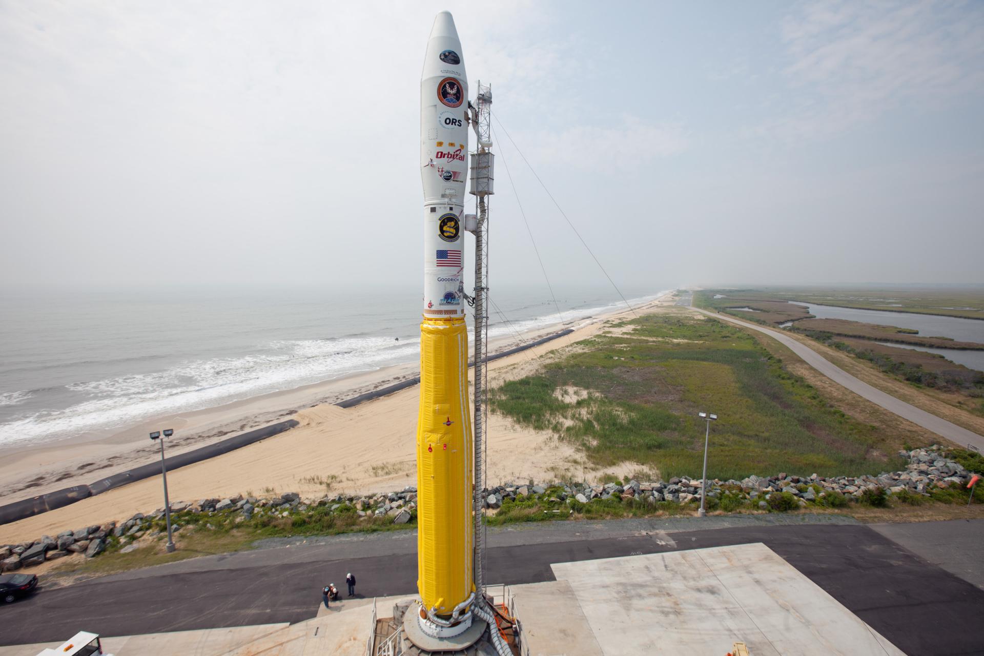
American eyperimental imaging satellite part of an effort to develop modular spacecraft buses.
May 19, 2009 at 11:55 PM UTC
Wallops Flight Facility, Virginia, USA
LAUNCH IN
May 19, 2009 at 11:55 PM UTC
Status: Launch Successful · Live feed refreshes every 30 seconds
Launch Area 0 B
Wallops Flight Facility, Virginia, USA · 37.8310, -75.4911
American eyperimental imaging satellite part of an effort to develop modular spacecraft buses.
Minotaur
Height
19.21 m
Diameter
1.67 m
LEO capacity
580 kg
Successful launches
12
Wallops Flight Facility, Virginia, USA
Wallops Flight Facility is a rocket launch site on Wallops Island on the Eastern Shore of Virginia, United States, just east of the Delmarva Peninsula and north-northeast of Norfolk. The facility is operated by the Goddard Space Flight Center in Greenbelt, Maryland, and primarily serves to support science and exploration missions for NASA and other federal agencies. WFF includes an extensively instrumented range to support launches of more than a dozen types of sounding rockets; small expendable suborbital and orbital rockets; high-altitude balloon flights carrying scientific instruments for atmospheric and astronomical research; and, using its Research Airport, flight tests of aeronautical research aircraft, including uncrewed aerial vehicles.
Open mapConnected program records
Same launch vehicle
June 15, 2021 at 1:35 PM UTC
November 20, 2013 at 1:15 AM UTC
June 30, 2011 at 3:09 AM UTC
February 6, 2011 at 12:26 PM UTC
April 24, 2007 at 6:48 AM UTC