The most advanced mobile camera system.
TimeLapsed is the most advanced mobile device camera system ever imagined, and created. Shoot timelapses and video, build live star trails, run dual cameras, and plan the sky on iPhone, iPad or Android. Control your iPhone camera from Apple Watch.


Available now on Google Play.

Showing TimeLapsed, slide 1 of 3.
Watch TimeLapsed in Action · iPhone
Control the aperture.
Watch the timelapse.
See the camera running on iPhone 18 Pro Max, with aperture adjustments in the live TimeLapsed view. Watch the controls and the picture together.
Watch the Demo on YouTubeTimeLapsed 2.0 · Our Flagship Camera
Set the camera. Plan the sky.Keep your hands off the tripod.
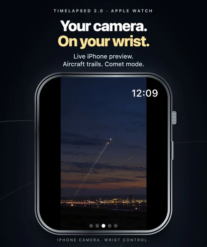
iPhone does the capture. iPad gives the sky, forecast and editing timeline room to breathe. Apple Watch puts camera controls on your wrist, so adjusting the shot does not mean touching the phone.
Explore TimeLapsed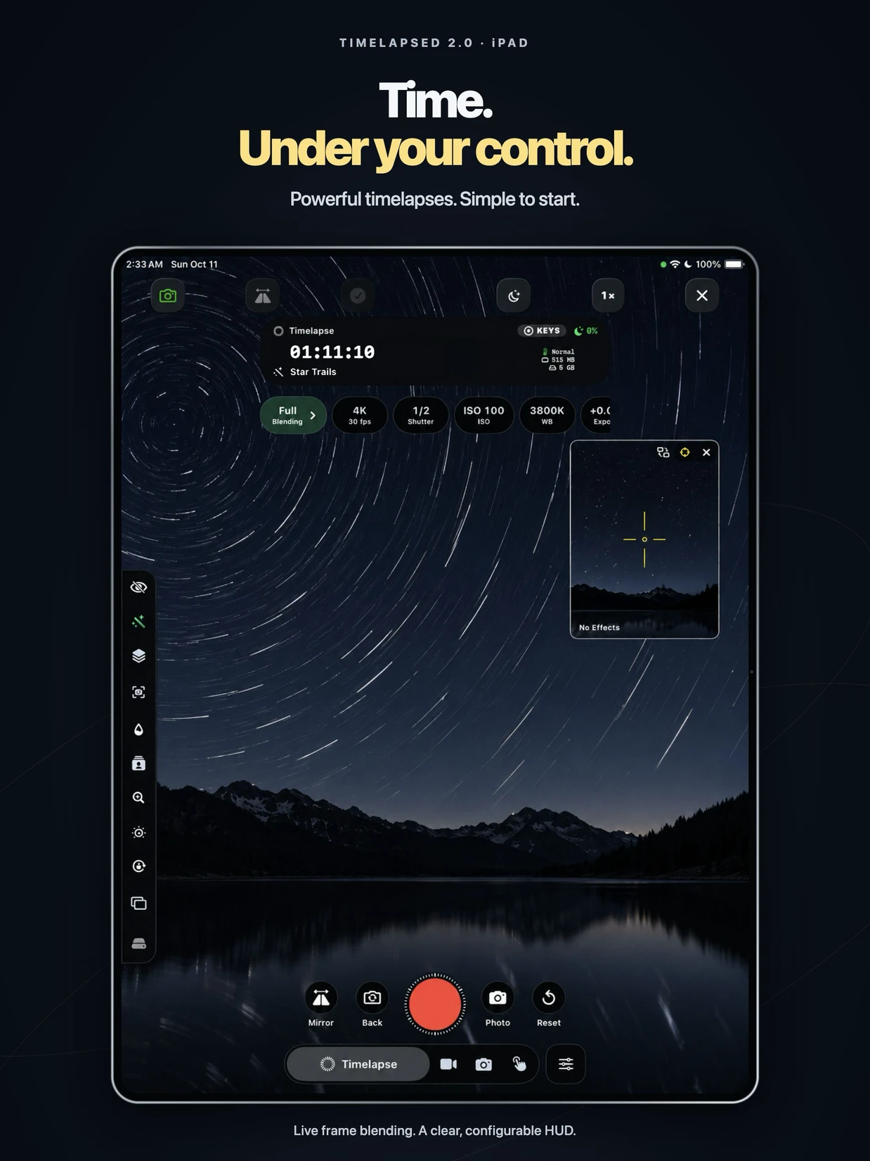
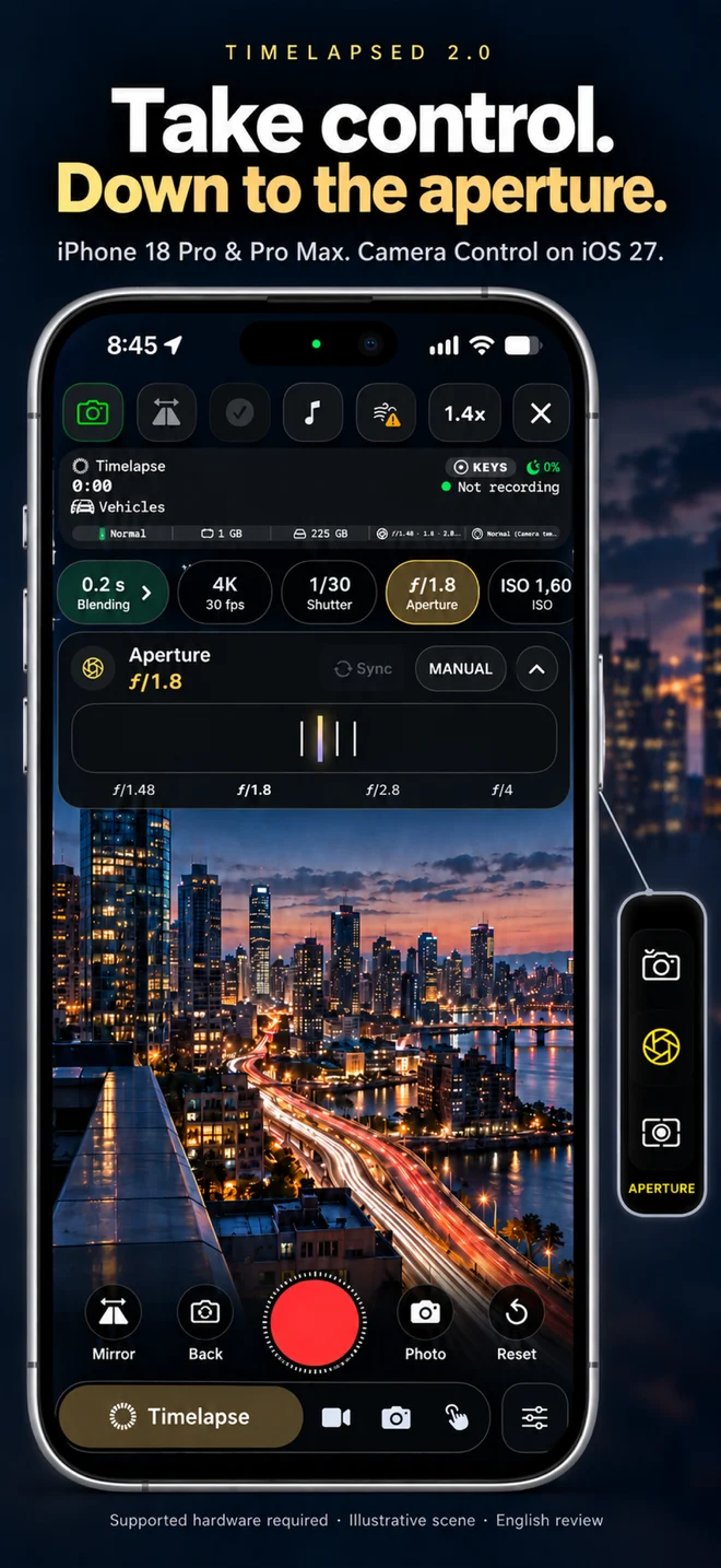
Set aperture on supported iPhone 18 Pro and Pro Max lenses. Adjust the camera with Camera Control on supported iPhones.
Capture & PlanTwo cameras. A sky full of possibilities.Capture front and back together on supported hardware. Plan Sun, Moon, stars and aircraft paths before the first frame.
iPad & Apple WatchA bigger workspace. A smaller remote.Review the map and timeline on iPad. Start a take, change capture mode and adjust supported controls from Apple Watch.
TimeLapsed for Android · Available Now
TimeLapsed is built for Android phones with manual camera settings and the GPU and processor capacity for live image processing. Camera access and sustained performance vary by device. Download TimeLapsed on Google Play.
Get TimeLapsed for Android
Built Into TimeLapsed
TimeLapsed Simulator
Explore a location before setting up the tripod. Aim the virtual camera, inspect the map and move through the timeline. Keep the scene, camera settings and framing together while you work out the shot.
Explore the Simulator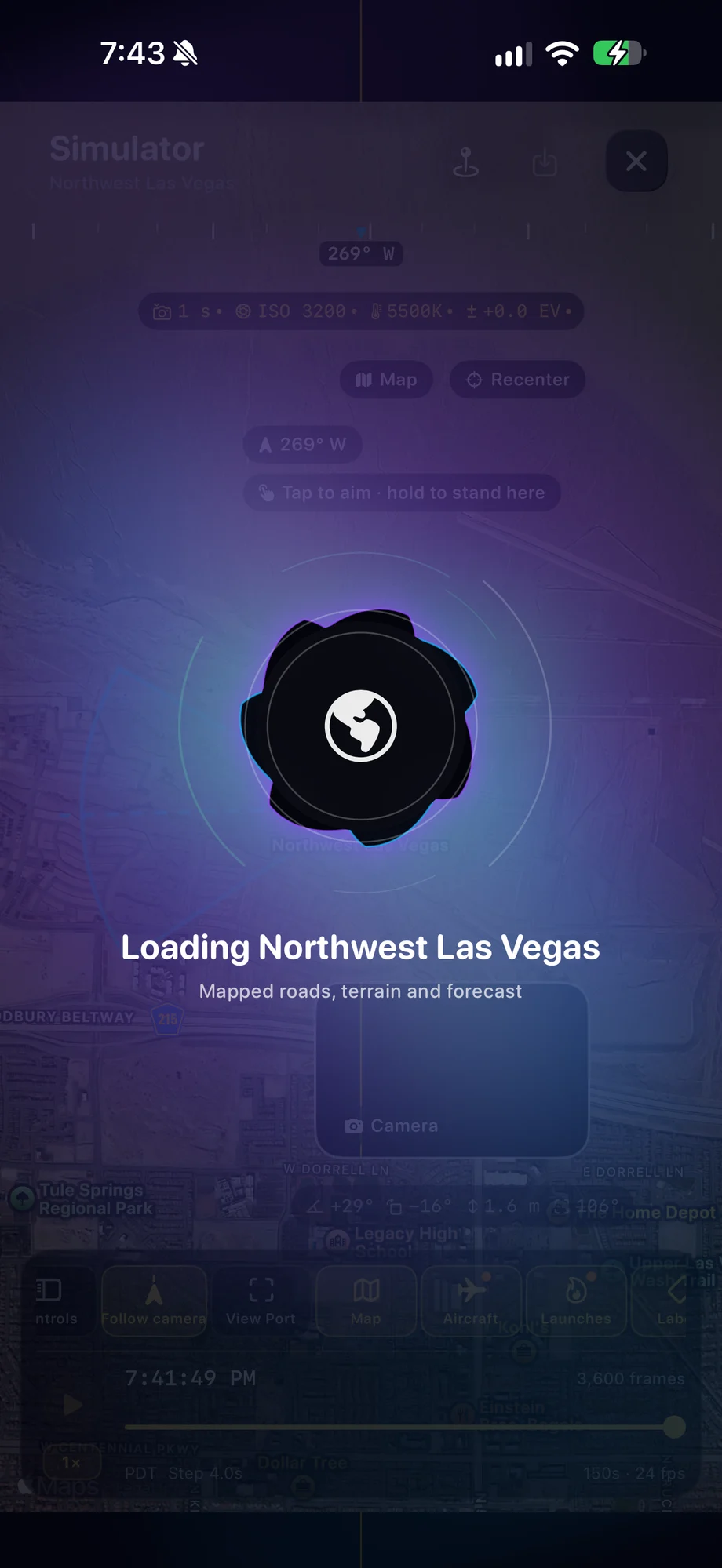
Try what we are building
Live Planning Tools
Check darkness and cloud layers for a planning location, inspect airport departures, or open the current launch schedule.
Open all live toolsFeatured video
TimeLapsed 2.0 Video Blender - Turn any video into star trails, long shutter
In previous versions of TimeLapsed app, the camera was the only way to capture a star Trail but we decided to rethink this using other cameras is great for like action cameras, or any camera that can capture a decent night photo and a sequence and possibly even make a movie for it you can then plug your SD card directly into USB-C, but the converter or just AirDrop it from another source into your photo library and then share it with TimeLapsed and it will import it directly to your gallery

Explore the apps
Take the app with you
Download TimeLapsed.
Capture on iPhone, iPad or a compatible Android phone. Apple Watch controls are available with the iOS app.
Available now on Google Play.