Launch index
Launch Successful

Delta II | NOAA 18

May 20, 2005 at 10:22 AM UTC

Vandenberg SFB, CA, USA

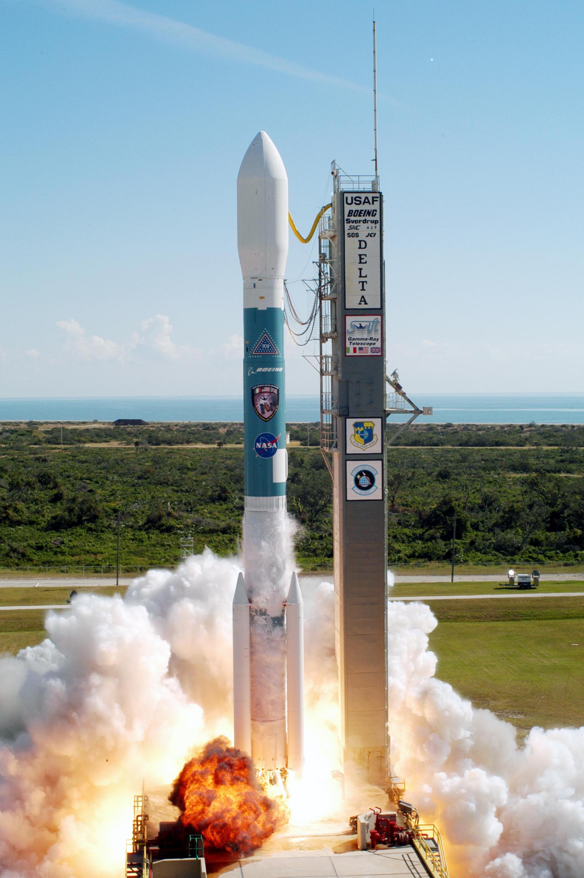
Delta II | NOAA 18 launch image
Mission imagery · Delta II 7320-10C

Launch details

LAUNCH IN

T−00d00h00m00s

May 20, 2005 at 10:22 AM UTC

Status: Launch Successful · Live feed refreshes every 30 seconds

Space Launch Complex 2W

Vandenberg SFB, CA, USA · 34.7556, -120.6224

Open map
Launch site
Space Launch Complex 2W

Vandenberg SFB, CA, USA

Launch probability
Not published
Window opens
May 20, 2005 at 10:22 AM UTC
Window closes
May 20, 2005 at 10:22 AM UTC
Feed updated
June 14, 2023 at 3:52 AM UTC

Mission description

NOAA-18, known before launch as NOAA-N, is a weather forecasting satellite run by NOAA. NOAA-N (18) was launched on May 20, 2005, into a sun-synchronous orbit at an altitude of 854 km above the Earth, with an orbital period of 102 minutes. It hosts the AMSU-A, MHS, AVHRR, Space Environment Monitor SEM/2 instrument and High Resolution Infrared Radiation Sounder (HIRS) instruments, as well as the SBUV/2 ozone-monitoring instrument. It is the first NOAA POES satellite to use MHS in place of AMSU-B. NOAA-18 also hosts Cospas-Sarsat payloads.

Vehicle

Delta II 7320-10C

Delta · 7320-10C

Height

38.9 m

Diameter

2.44 m

LEO capacity

2,800 kg

Successful launches

6

Launch complex

Space Launch Complex 2W

Vandenberg SFB, CA, USA

Vandenberg Space Force Base is a United States Space Force Base in Santa Barbara County, California. Established in 1941, Vandenberg Space Force Base is a space launch base, launching spacecraft from the Western Range, and also performs missile testing. The United States Space Force's Space Launch Delta 30 serves as the host delta for the base, equivalent to an Air Force air base wing. In addition to its military space launch mission, Vandenberg Space Force Base also hosts space launches for civil and commercial space entities, such as NASA and SpaceX.

Open map