Mission description
SMAP is an Earth satellite mission designed to measure and map Earth’s soil moisture and freeze/thaw state to better understand terrestrial water, carbon and energy cycles.
January 31, 2015 at 2:22 PM UTC
Vandenberg SFB, CA, USA
LAUNCH IN
January 31, 2015 at 2:22 PM UTC
Status: Launch Successful · Live feed refreshes every 30 seconds
Space Launch Complex 2W
Vandenberg SFB, CA, USA · 34.7556, -120.6224
SMAP is an Earth satellite mission designed to measure and map Earth’s soil moisture and freeze/thaw state to better understand terrestrial water, carbon and energy cycles.
Mission media
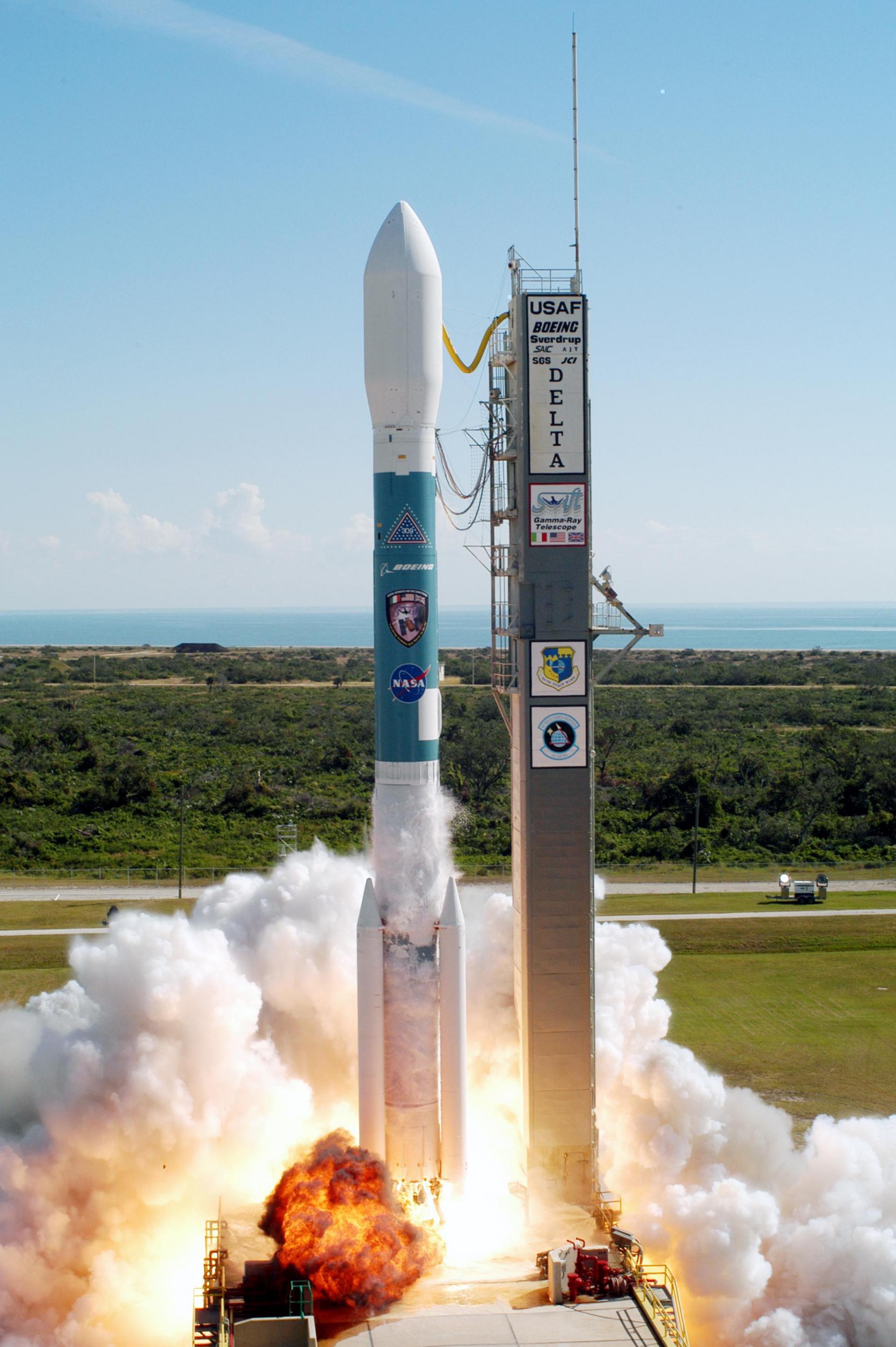
NASA Launches Soil Moisture Mapper
Full video recordDelta · 7320-10C
Height
38.9 m
Diameter
2.44 m
LEO capacity
2,800 kg
Successful launches
6
Vandenberg SFB, CA, USA
Vandenberg Space Force Base is a United States Space Force Base in Santa Barbara County, California. Established in 1941, Vandenberg Space Force Base is a space launch base, launching spacecraft from the Western Range, and also performs missile testing. The United States Space Force's Space Launch Delta 30 serves as the host delta for the base, equivalent to an Air Force air base wing. In addition to its military space launch mission, Vandenberg Space Force Base also hosts space launches for civil and commercial space entities, such as NASA and SpaceX.
Open mapConnected program records
Same launch vehicle
July 2, 2014 at 9:56 AM UTC
December 14, 2009 at 2:09 PM UTC
February 6, 2009 at 10:22 AM UTC
May 20, 2005 at 10:22 AM UTC
November 20, 2004 at 5:16 PM UTC